From where do we get the internet?

Dalia Al-Kaissi
Many people think that we are getting Internet via the sky. But this may be wrong!
The Internet is a long cable and we only see the smallest part of it. While the remaining part extends in the depths of the ocean. Those cables transmit about 99% of international data and it’s called submarine cables.
In fact, cables stretch across hundreds of thousands of miles long as deep as Mount Everest. In general, they should be placed on flat surfaces in the ocean, and should be placed far from coral reefs, sunken ships and other environmental obstacles. The diameter of the cable in shallow water is equal to the size of soft drink cans. Meanwhile, its size is smaller in deep water, like the size of a writing pen on the blackboard.
Underwater cables face some challenges as sharks try to eat them, they are not easy to be repaired, as the repairing work lasts only 25 years.
The Falcon Cable is the first submarine cable that transmit internet to Iraq. It carries Internet capacity across the world to Iraq. It extends from FAO in southern Iraq to the Gulf. Then to the Red Sea and the Suez Canal. And then to the Mediterranean and Europe.
How does the Internet work?
If you have a message you wish to send to the world, you’ll probably publish it online by one click, but have you ever thought about how the Internet will post the message at the same time and store it for you to retrieve at any time?
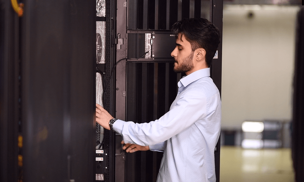
The Internet consists of a collection of buildings distributed all over the world. These buildings contain power devices and a set of servers with high-speed Internet access for 24 hours a day. So, if you have an Internet connection, it means that your computer or phone is connected to one of these data centers. When your message is shared, the data center will permanently store it “until you delete it” and publish it around the world. The data center is linked to the rest of the centers distributed throughout the world through a network owned by the ISP’s. So your message will be able to travel around the world and reach its destination.
learn more about Earthlink Data Center services now!
Find Articles
Recent Articles
Archives
- February 2024 (1)
- July 2023 (1)
- January 2020 (1)
- November 2019 (1)
- October 2019 (13)
- September 2019 (2)
- August 2019 (1)
- July 2019 (1)
- June 2019 (5)
- May 2019 (4)
- April 2019 (3)
- January 2019 (1)
- December 2018 (8)
- August 2018 (1)
- June 2018 (1)
- May 2018 (2)
- December 2017 (1)

Quick refil

What’s my plan?

Test my speed

Wi-fi map


